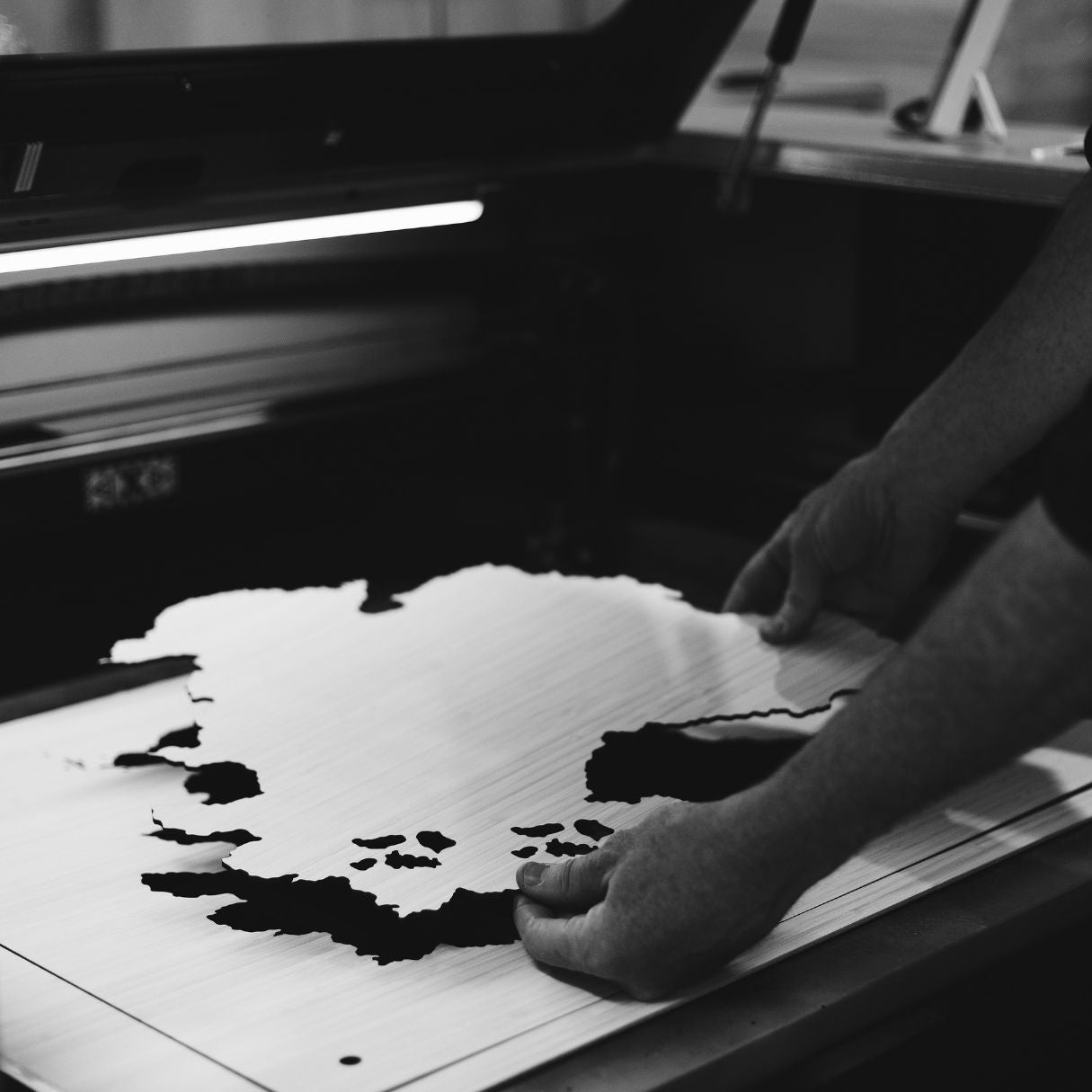
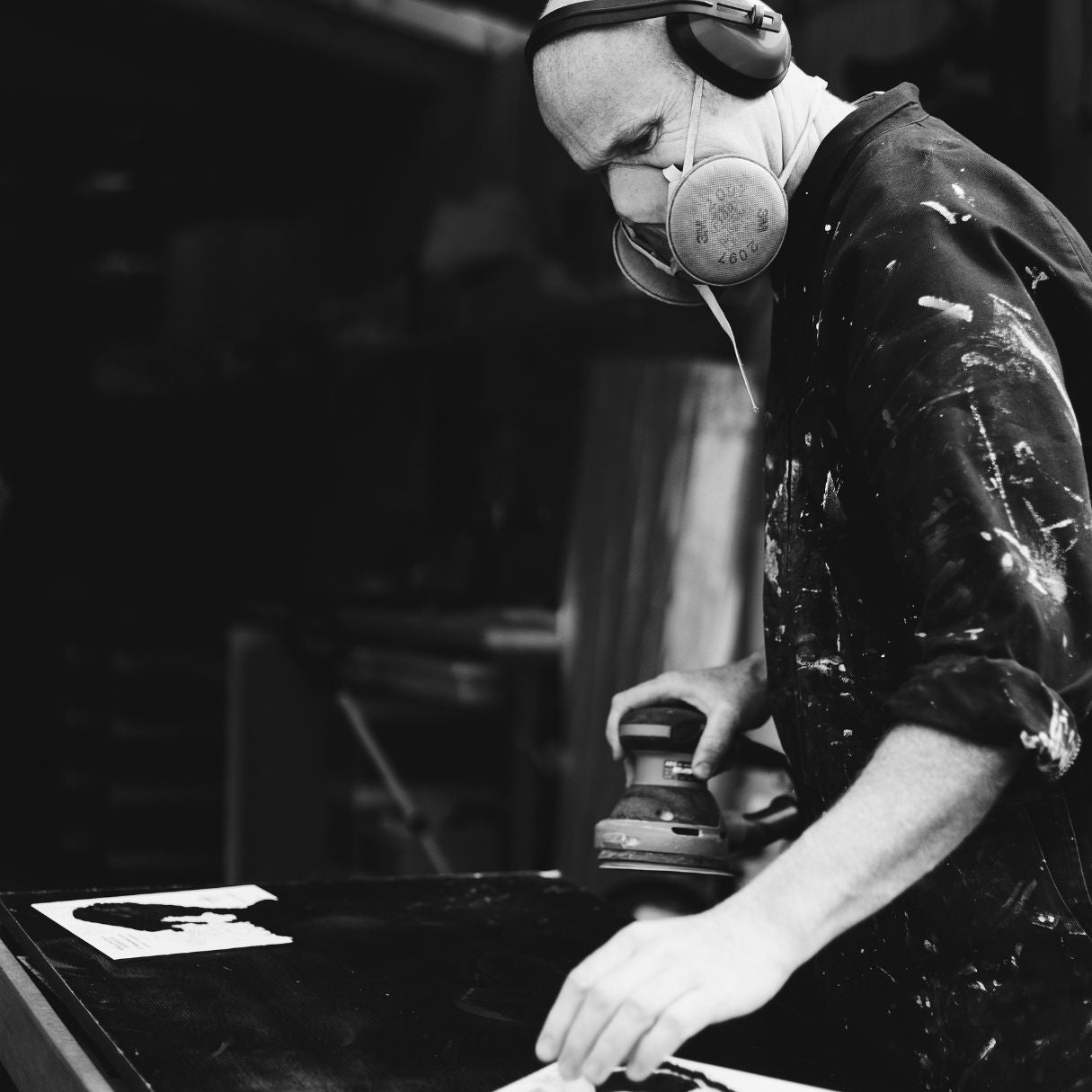
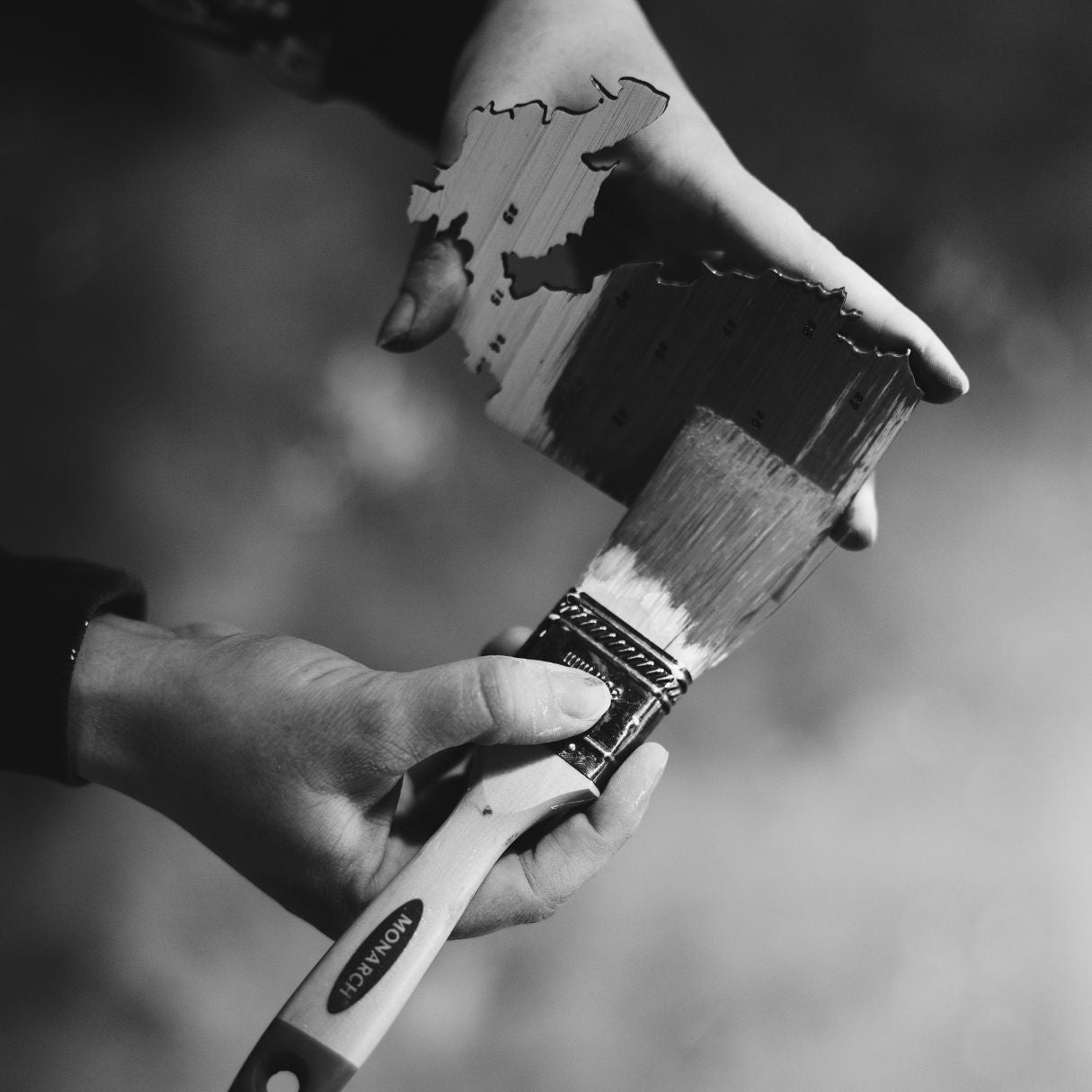
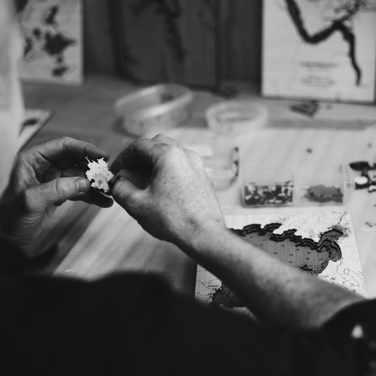
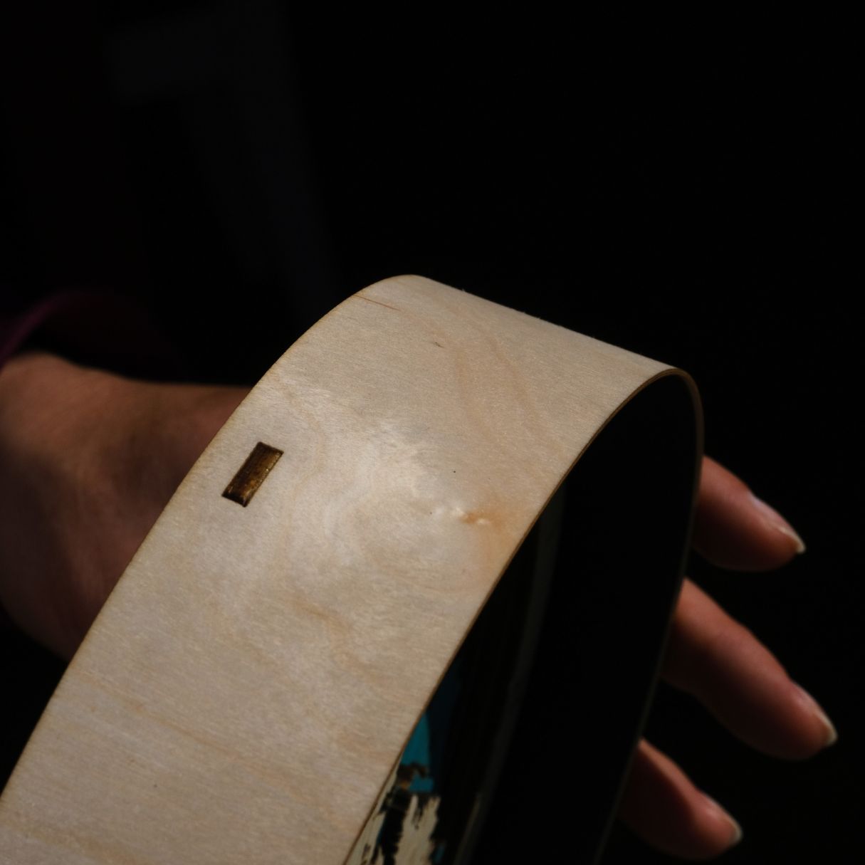
Process
Handcrafted by us
Get behind the scenes and see the different stages in making a map of your favourite place.
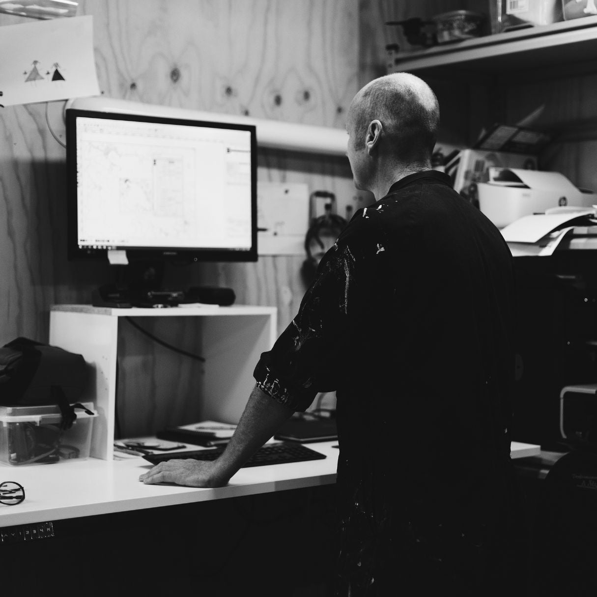
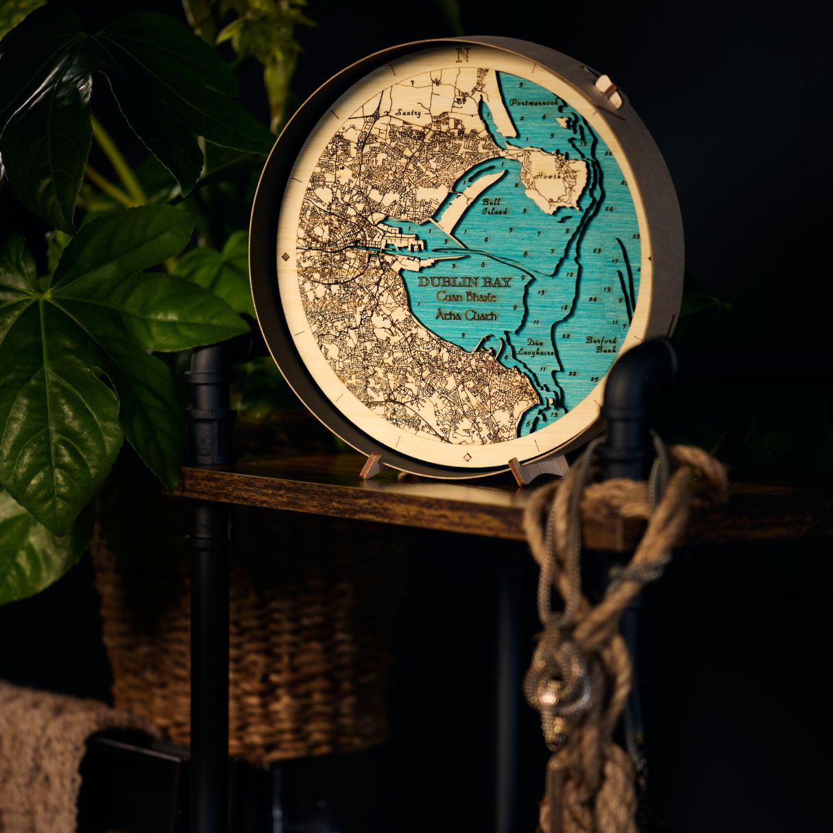
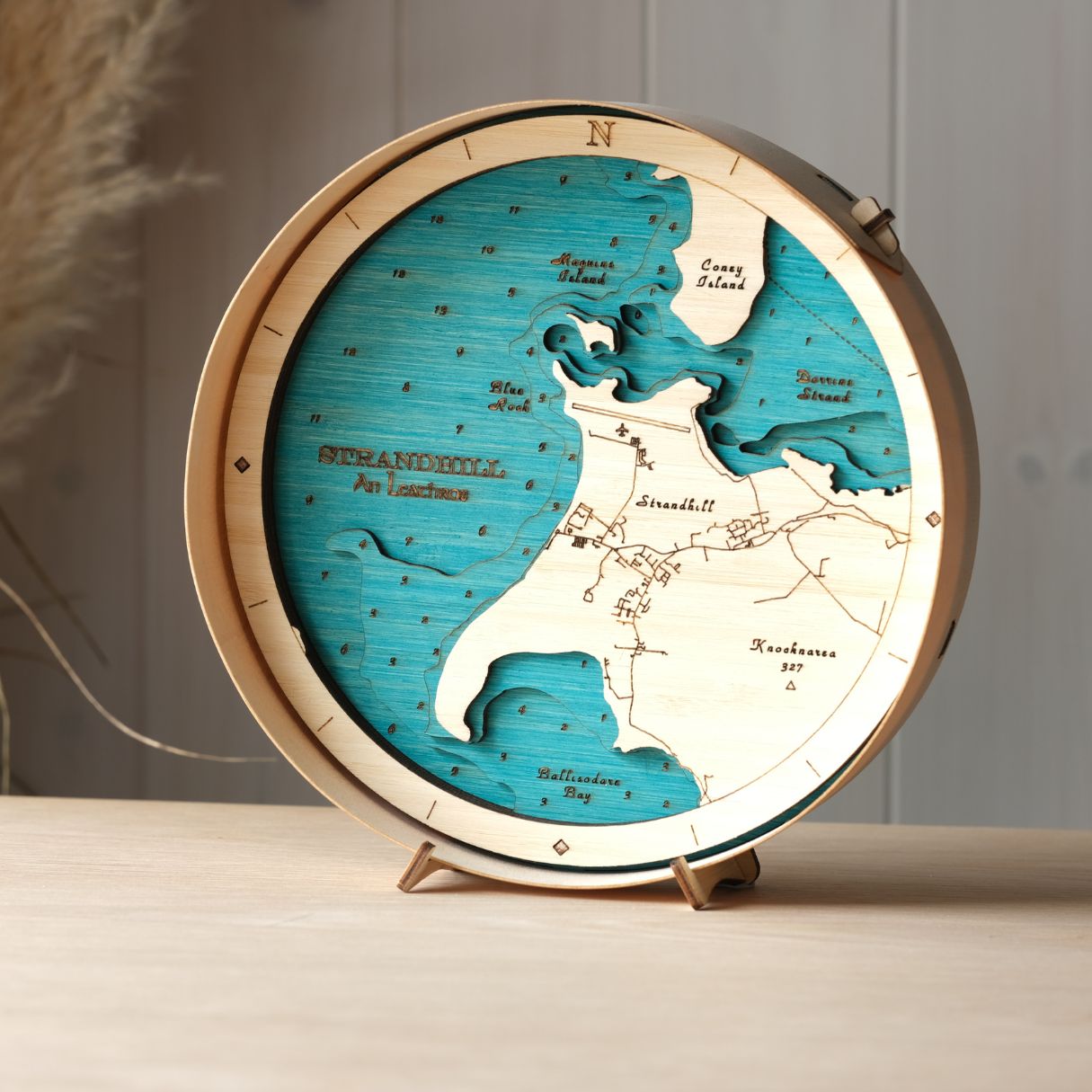
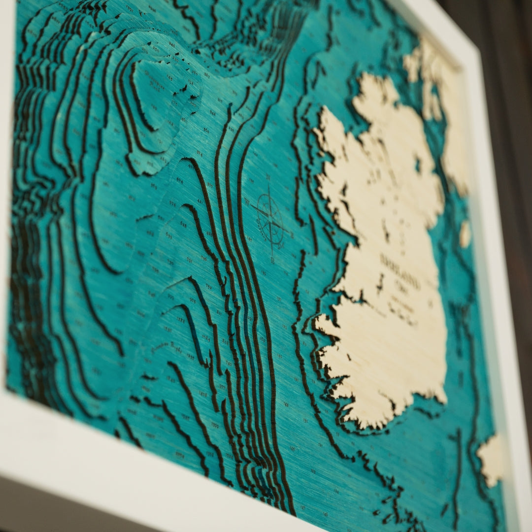
Survey and map info
The design of all our maps begins with real life survey data. Maeve uses Geospatial Information Systems (GIS) to access all the latest and highest quality data for our maps. From this both Aran and Maeve decide together what information to extract to create the best art piece. They then pull together as much extra information as they can for that area, including marine charts, topographic maps, bathymetric survey data and even satellite imagery. Once all the information is collated into one file the detailed design work begins.
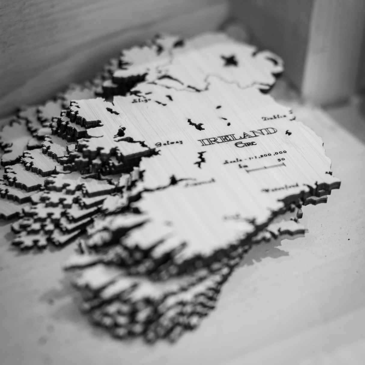
Design
Once the information is collated we don't simply just press print. Aran's eye for design then comes into play, deciding which contour layers will give the best representation of the area and what exactly to include to ensure a balanced and aesthetically pleasing finished piece that also fulfills the connection to place. Interpreting 1000m depths to be represented in just 8 layers of 3mm of plywood takes time and an eye for detail.