
Outcrop design
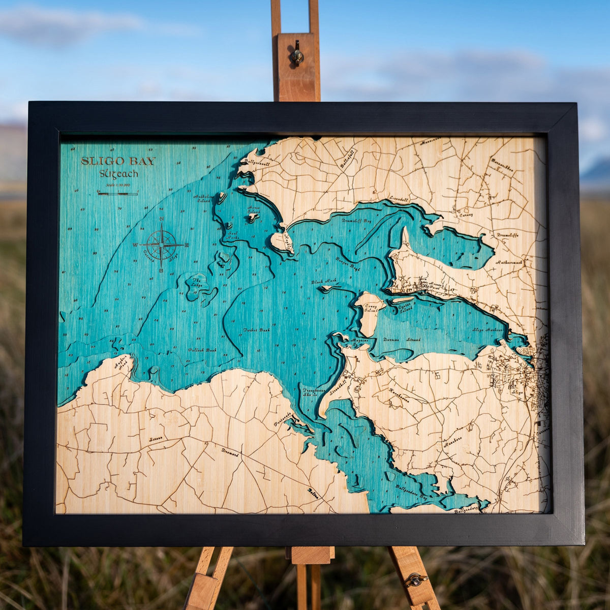
Custom medium map
Choose options
Custom medium map of anywhere in Ireland
Some places don’t fit in a circle. A whole bay with its islands strung across it, a peninsula from the neck to the point, a lake and the hills that hold it: at 40 × 50cm, a medium map has room for the full stretch of ground, and for the detail that makes it recognisable to the people who know it.
This is the custom map you help to shape. You tell us the place and what matters about it, then choose how far to make it your own: a title, a few words and a date around the compass, pins on the places that matter, the line of a swim or a walk across it. Before anything is cut, you’ll see the finished design.
How the design works
The drawing itself is ours. Aran has been designing these maps for years, and much of what makes one work isn’t obvious from the outside: where to set the edges so the ground reads properly, which contours carry the piece, and where a name can sit without crowding what it’s naming.
What you bring is the story and the detail. The custom options are there if you want them, and none of them is required. Many of the best maps we’ve made carry just one pin and a line on the back.
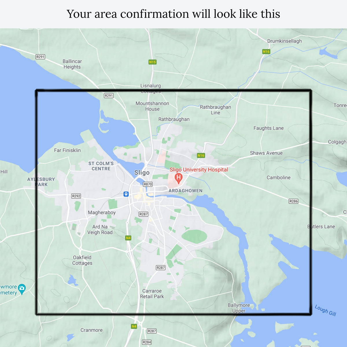
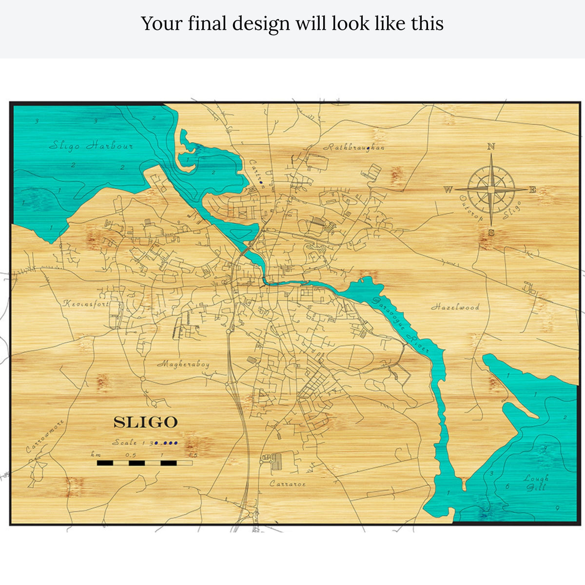
You’ll see the area first, on a Google Maps view with the boundary marked. Once that’s agreed, we draw the map and send you a full render of the finished design with your options in place. That’s the stage to check names, spellings and pin positions. Once you confirm it, we start making.
How ordering works
- Order here and fill in the boxes below. This is the only point where we gather your details, so take a minute over it.
- Within a few days we’ll send a Google Maps view with the proposed area marked. Confirm it or tell us to shift it. If we haven’t heard back within 7 days, we’ll go ahead with the area as shown.
- We draw the map and send you the render.
- Confirm the render. If we haven’t heard back within two weeks, we’ll make the design as rendered rather than leave it sitting.
- From confirmation, it’s about four weeks to cut, build and finish in our Sligo workshop.
- It posts out tracked, framed and ready to hang, in plastic-free packaging.
What we need from you
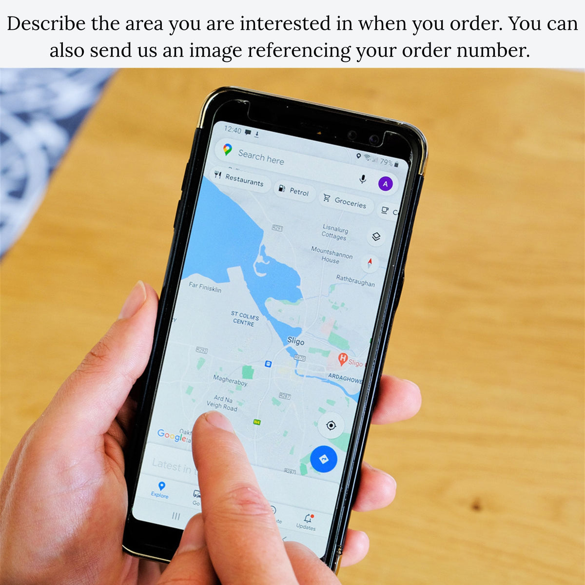
The place, as precisely as you can give it, ideally with a Google Maps screenshot. A bay, a peninsula, a lake, a stretch of coast or a parish all work well. A whole county is too big to show well at this size.
Why it matters, and who it’s for. A line or two of backstory tells us which parts of the map deserve the attention.
Any custom options you’d like: the title, the words and date for the compass, the spots for the brass pins, a route or track, and the message for the back.
And any local names that don’t appear on the usual maps, such as the name of a field, a rock or a swimming spot. That’s often the detail people notice first.
Somewhere outside Ireland?
We make medium maps of places all over the world, but sourcing the data abroad takes extra work, so we quote those one at a time. [Send us an enquiry] and we’ll come back with a price and timing.
Accurate:
We meticulously combine international and local survey data, satellite imagery, and historical maps to design each Outcrop art map from scratch with precision and accuracy.
Detailed:
Using cutting-edge laser technology, we capture the finest details of Ireland’s landscapes and coastlines, bringing every contour and feature to life.
Innovative Round Frames:
Our unique patent-pending round frames, crafted from FSC-certified birch sourced from sustainably managed Finnish forests, are a seamless blend of minimalist design and eco-conscious materials, adding a contemporary touch to any space.
Exceptional Quality:
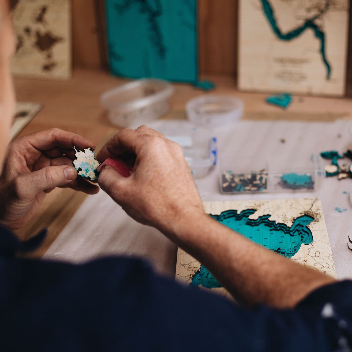
Every piece is hand-finished using traditional techniques, ensuring your artwork meets the highest standards of craftsmanship and is built to last.
Designed and Made in Sligo, Ireland:
Proudly handcrafted in our Sligo workshop, each map reflects the spirit of Irish design, sustainability, and local artistry.
Sustainably Sourced Wood:
Each layer of our map is crafted from FSC-certified bamboo plywood, known for its strength, beauty, and eco-friendly credentials.
Eco-Friendly Finishes:
We use water-based, non-toxic glues and stains that enhance the natural character of the wood in the most eco-friendly way possible
Innovative Round Frames:
Our new round frames are made from FSC-certified birch, carefully sourced from sustainably managed Finnish forests, reflecting our commitment to responsible materials and exceptional design.
Thoughtful Packaging:
Every artwork is wrapped in protective tissue and presented in an unbleached, recycled cardboard box, ensuring it arrives safely and sustainably to its new owner.
Every map comes in its own recycled cardboard presentation box, framed and ready to hang. We include an elegant clip together stand to allow your map to stand upright on a shelf or table. We do not use glass in any of our maps so you can better appreciate the depth and tactile nature of the artwork.
- Outside frame diameter 220mm, 42mm deep
- 4 layers of 3mm thick bamboo
- Approx 500gm for easy postage
- Ready to hang or stand
- Birch frame with either black or natural inner
- All depths shown are in metres